

'Let Not Folk Say, and Say it to Your Shame, that All Was Beauty Here until You Came'
Ordnance Survey Maps, which cover our area, are Explorer 385 Rannoch Moor and Ben Alder and Explore Map 386 Pitlochry and Loch Tummel.
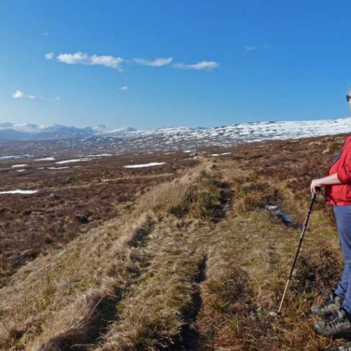
Rannoch and Tummel have several paths which are classified Rights of Way, many of these have been adopted as Core Paths which ensure that important paths and routes are recorded and promoted. They are where residents and visitors may move, on foot, by bike, by horse or any other non-motorised means including mobility vehicles and watercraft. There is no defined standard for a core path – it can be anything from hill track, a grassy field margin or a tarmac path. They are not necessarily trail marked although in Rannoch we are gradually marking the more popular ones.
There are about 16 identified core paths, some of which are original rights of way. They can be found on the PKC website
Perth and Kinross Council - Core Paths Maps
Map 8-18 cover the Rannoch and Tummel area. The paths are marked in purple.
A new Explore Rannoch Path Network Around Kinloch Rannoch map is available in local shops and hotels.

